Due to various social commitments, we will not hike again until Sunday.
We've only one or two more hikes here in the Whites before we're on a plane to California!
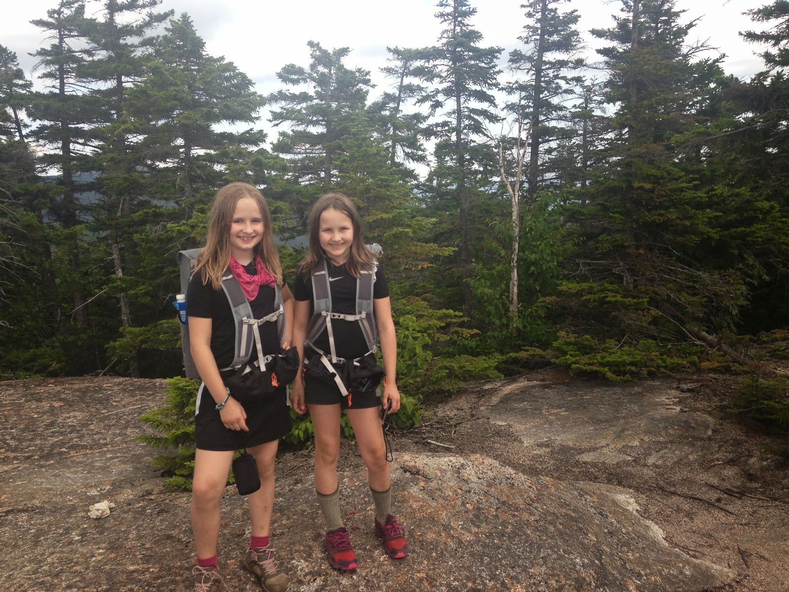
.JPG) |
| On the ledges of Mt. Paugus |
Cabin Trail, Lawrence Trail, Old Paugus Trail, Big Rock Cave Trail. 8.2 miles (loop) with around 2700 feet of elevation gain.
The day before this hike (Sunday), we swam our way up a Trailwrights 72 peak through wave after wave of tightly woven firs. Then, first thing the next morning (Monday), the girls had camp. When I picked up the girls at noon, none of us really wanted to hike another mountain...Sage and I were still nursing bushwhacking cuts and all of us were sore sore sore (bushwhacking is an intense, full-body, painful workout!). However, the forecast for Tuesday and Wednesday called for horrible heat and humidity, plus thunderstorms. Thursday and Friday looked good, but we already had firm plans for those afternoons. Therefore, Monday afternoon it was, even though we were still aching from our hike up Northwest Hancock.
We drove to the trailhead for Cabin Trail, parked across the street off Route 113A, and began the blessedly flat approach toward Mt. Paugus.

The first 0.3 of a mile consists of private driveways.


Shortly after turning into the woods, one comes across this fork. We took the left path for Cabin Trail, then, later, returned from Paugus via Big Rock Cave Trail (on the right).

Cabin Trail was so mellow that it felt flat for most of the way up. That was fine with us. Given the previous day's hike, we needed something relatively tame. The grade increased to moderate after we entered the Sandwich Wilderness.


We were warmed up and feeling back to normal by the time we reached the intersection with Whitin Brook Trail.

The final half mile of Cabin Trail was overgrown in places.

We followed the trail as it wrapped around the edge of a minor ridge. We could see the ledges of Paugus across from us, through the trees, on the opposite side of Whitin Brook.

Upon reaching Lawrence Trail, we turned right and, after a short descent, began a moderate-to-steep climb toward the southern knob of Mt. Paugus.


The last half a mile or so contains a few steep switchbacks. My knees were just beginning to remind me of my middle-age status when, happily, we reached our destination.
 |
| Sage on Paugus |


Straight ahead is the entrance to a teeny path through some scrub. You'll soon reach the open ledge.

 |
| View toward Passaconaway |

We took a thirty minute break to eat, rest, and enjoy life. Eventually, we made our way back up the short distance to the main ledge. Here, Sage tried to get a photo of Max looking directly at the camera. It didn't work...

It was soon time to descend. We wanted to be sure we had plenty of daylight left to check out Big Rock Cave.
 |
| The intersection with Old Paugus Trail |

There were times when the trail wove peacefully through the forest.

There were also viewpoints every so often...

...there are a few excellent opportunities to look at Mt. Chocorua, but, unfortunately, my photos of Chocorua did not turn out.
Down, down, down along Old Paugus Trail...
 |
| Badly eroded section |

...through a section that must have experienced a microburst...(kudos to the trail maintainers for making the trail passable after what must have been a huge wind event -- the following photo does not do the scene justice)...

...past a huge, big 'ole boulder...

...to the intersection with Big Rock Cave Trail.


We crossed the brook, climbed a steep tenth of a mile, and checked out the Big Rock Caves.

Here's the top of one Big Rock Cave...

The girls spent a bit of time exploring, then we headed up a couple tenths of a mile to Mt. Mexico's unremarkable summit area.

The trip down to the car was uneventful. Big Rock Cave Trail has a moderate grade with good footing.
We arrived back at the first intersection...

...and quickly hiked the 0.3 flat miles to the parking area.


Congrats to Sage, who has only three more 52 With a View hikes to go. We may or may not get one more in before we head to California. Regardless, she'll likely finish the list in September or October.
No comments:
Post a Comment