Woo-hoo! My leg feels completely back to normal. Hooray for stretches and recovery exercises!
The girls and I got back into the woods yesterday and ascended a couple of mountains. It felt wonderful! I think we can now resume our usual once-a-week hiking routine.
We are currently chasing multiple lists, but in a casual fashion. During the next six months -- hopefully, before we leave for the
John Muir Trail in August -- we should finish, or almost finish, the following lists:
52 With a View (Sage),
Trailwrights 72 (Alex),
Desserts on the 48 (both girls), and the
Terrifying 25 (both girls). FYI, we made up the last two lists (we enjoy rock scrambling, and we all wanted to do another round of the NH48...this time, with different desserts). When we come back from California in late August/early September, we'll probably start visiting the New Hampshire peaks we haven't yet seen. We live in a gorgeous area of the country, and the girls love to get out there, so why not keep exploring.
The hike up the Hancocks was the perfect get-back-into-it venture. The first part of this trek is 1.8 miles of flatness along the Hancock Notch Trail. All that flatness gives a recovering body ample time to get warmed up before hitting the steeps.
 |
| The entrance to the trail, in the parking lot off Route 112. |
The trail was nicely packed from the previous day's foot traffic, so we didn't need to wear our snowshoes.
 |
| 1.8 miles of flat! |
We took a short water break by the first intersection. Then it was on to 0.7 miles of Cedar Brook Trail.
 |
| Crossing a snowed-over stream. |
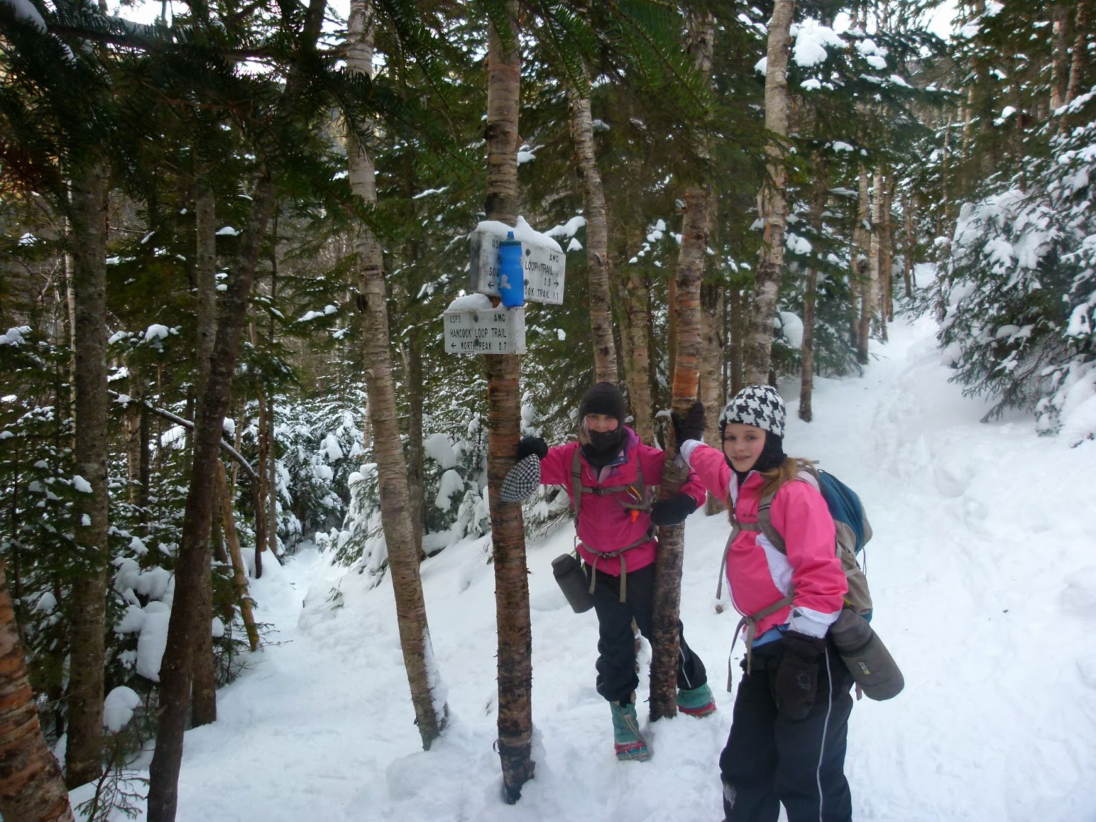
We reached the Hancock Loop Trail, took a few more gulps of water, and walked the 1.1 miles to the beginning of the actual loop.
This part of the trail's grade is easy-to-moderate. It only gets steep on the actual loop over the peaks.
 |
| Sage with frosty hair and eyelashes. |
Loop time! We chose the common North-first approach so we could experience the dangerous joy of butt-sliding down South Hancock.
The trail up North Hancock goes down for a tenth of a mile, then it ascends steeply for six tenths of a mile. Up to this point, the girls and I had flown through the woods. When we reached this stretch, however, I had to slow down. Alex and Sage kept their same pace, which meant they kept going ahead of me, way out of eyesight. Both of them now hike like fit young athletes, whereas I hike like an aging mom. There may soon come a time when I ask folks I trust in the hiking community, young adults known for their quick pace and strong (and safe) hiking skills, to allow my girls to go with them from time to time so they can keep hiking to their ability (and not be handicapped by the presence of their mom).
On top of North Hancock...
We're counting this as part of our quest for
Desserts on the 48. Store-bought hermits served as our summit treat.
 |
| We're not paid to endorse these hermits. We simply find them yummy. |
The temperature up top was a balmy fifteen degrees (F), but the sun was out and we felt fairly warm. We therefore lounged for a few minutes and soaked in the view before continuing the 1.4 miles to South Hancock.
 |
| Moving along the ridge toward South Hancock. |
On South Hancock.
We lounged for a while on this peak, too. Eventually, we got up and began the crazy-steep 0.5 mile descent back to the loop intersection.
 |
Sage looking at Arrow Slide and North Hancock.
After this photo was taken, we sat and descended via buttsliding. |
I don't have photos of our buttsliding descent. I was concentrating on protecting the girls and not impaling myself on any branches while we zoomed down at approximately 100 miles an hour. The girls laughed hysterically all the way down the mountain, and we all ended up with frozen rear ends and huge smiles on our faces.
This was my fourth time, Alex's third time, and Sage's second time on the Hancocks.
'Twas an excellent day in the woods.


