Mt. Osceola Trail. 8.4 miles roundtrip with 2950 feet of elevation gain.
This was another morning where we meant to do Huntington Ravine Trail. The weather dictated our Plan B, however, which was the Osceolas. The forecast the previous evening looked like it could go either way, so we went to bed not knowing which trail we'd tackle. At 4am, I checked the weather...it was pouring on Mt. Washington, which meant Huntington Ravine Trail was a no-go for us, since I want those rocks dry when we ascend them.
Back to sleep I went. An hour later, I roused myself, got the girls, and off we went. We had boots on trail just before 6am.
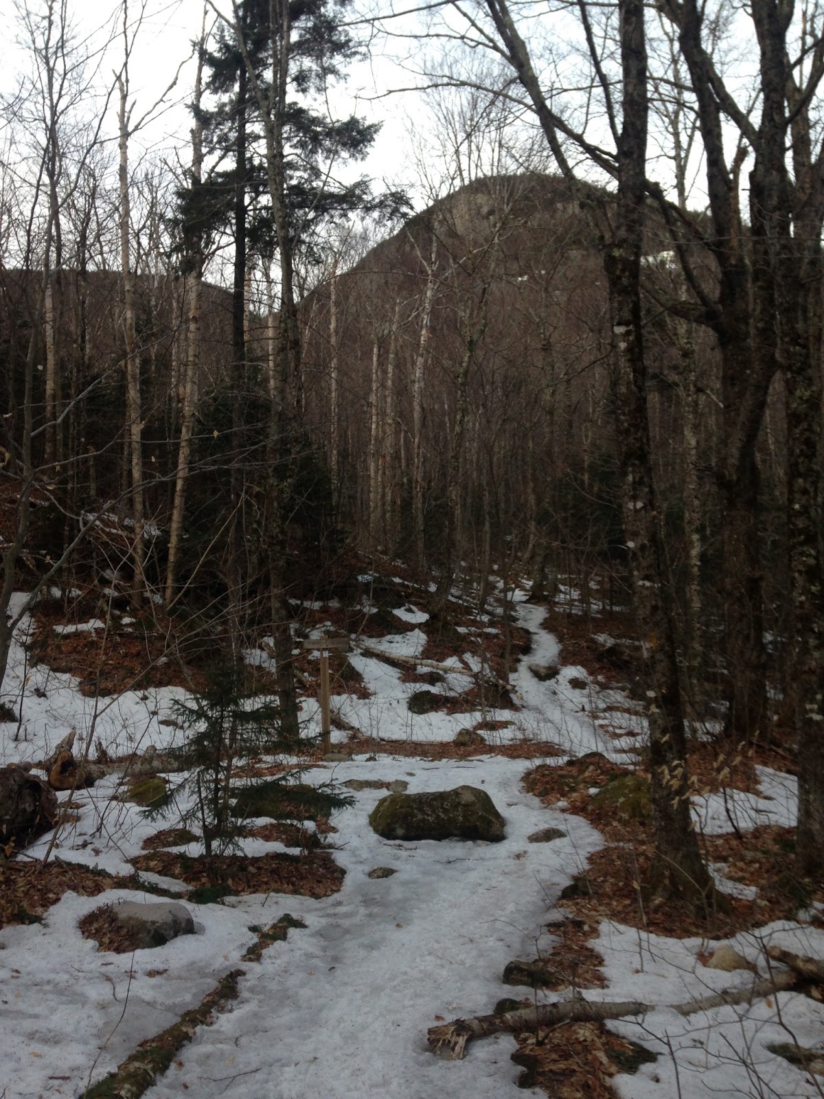
Mt. Osceola Trail begins fairly flat and smooth, but soon it becomes rocky and stays that way for the rest of the hike. The grade is moderate throughout, except for some short, steep sections between the main peak and the East Osceola peak.
We hiked up the 3.2 miles to Osceola's main peak in about an hour and a half.
The day was eventually going to be hot and humid, but because we had hit the trail so early, we felt fairly cool. That's one advantage of starting soon after dawn...no heat, little humidity, and no bugs.
Photo of the girls on the summit of Osceola...
Look-out ledges...
View toward the Valley (and Tecumseh's slopes, on the far right)...
East Osceola, which we'd soon visit...
We hung about for fifteen minutes or so, then down we went, toward East Osceola (a mile away).
We took the chimney bypass on the way down...
Viewpoint off a large rock a tenth or so of a mile from East Osceola's summit...
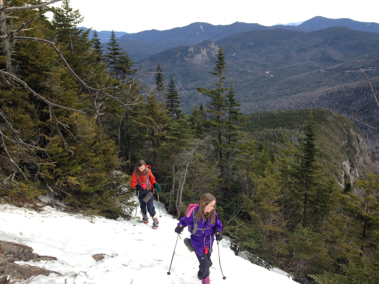
Steep section on the way up to East Osceola...
East Osceola! This marked Alex's 200th NH4K and Sage's 128th NH4K (not including all the additional 4K peaks they've hiked for the Trailwrights list).
We ate, drank, and talked for a bit, then we headed back to the main peak. The rocks on the chimney were dry enough for us to ascend, so we bypassed the bypass and climbed straight up.
Once back on the main peak, we lounged some more. Alex arranged pebbles to form her name, and we had a discussion about trail graffiti...what counts as graffiti and what doesn't. Up until now, I have allowed the girls to write their names in the snow, or to arrange pebbles such as Alex did on this hike. However, I have noted hikers complaining about people making decorative cairns (not for navigation) along trails and in water crossings, so I explained to Alex that this should probably be her last name-marking. Though the pebbles can be easily dispersed and no harm is being done to the trail, marking the summit with your name in any fashion is technically a violation of Leave No Trace. Therefore, the below is Alex's last pebble-name on any summit.
A kind hiker who is working his way through the 48 took some photos of us on the ledges (thanks, nice fellow!).
We passed many groups (and dogs) on the way down -- they were all coming up while we were descending. The day was becoming hot as the forecast had promised and everyone looked sweaty...but happy.
Another good day in the woods.