Showing posts with label Osceola. Show all posts

Sunday, May 31, 2015

Osceola and East Osceola. May 26, 2015

We were happy to get in another hike two days after we did Moosilauke.  Again, we're in the process of moving, so I am crunched for time -- we may not be able to hike again until next week.  We will, however, make sure we take a break in order to give back...National Trails Day is June 6 -- we will help with trail maintenance on that day.  Looking forward to it.

Here's our trip of the Osceolas, mostly in photos.  I had forgotten how many boulders and slabs are all over this particular trail.  We like that sort of thing, though -- it was a great hike.

Mt. Osceola Trail.  8.4 miles with 2950 feet of elevation gain (out-and-back from Tripoli Road).

Many of the photos are too bright...don't know why...sorry about that.

Starting out.


Entrance to popular bushwhack for the other two, trail-less Osceolas -
this is on a corner of the main trail, just a tenth of a mile
from the summit of Osceola's main peak,
it'll be on your left as you make a sharp right.

View from actual summit of main peak


Me on the summit of the main peak

The girls on the summit of the main peak

At the outlook


East Osceola from Osceola's main peak

Heading to East Osceola from Osceola


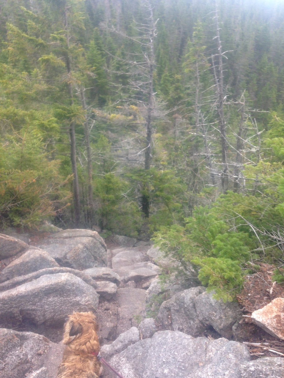
Steep!

East Osceola, straight ahead!

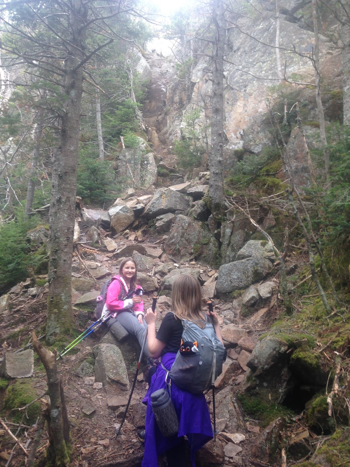
Entering the bypass, which is a steep alternative to
the extra-steep rock scramble known as the chimney.
The rocks were too wet for us to do the chimney,
which is why we opted for the bypass.

Max going down the bypass

Max went down the bypass like it was no big deal.
Our retractable leash extended just enough for him to make it down
without me having to be right there next to him.

Alex on her way down, checking out
possibilities for hand and foot placement


At the bottom of the bypass, looking up at the chimney

View from small outlook not far from East Osceola's summit

East Osceola's summit

On our way back to Osceola's main peak,
just before climbing the bypass

Here's a short video of the girls climbing back up the bypass --


'Twas another great walk in the woods.

Next time I type, it'll be from our new home (just a few miles away from our old home, and even closer to the mountains).

Happy hiking, everyone!

Wednesday, October 23, 2013

(Chocolate) Oranges and Easter Oreos on the Osceolas (Middle, Main, and East). October 18, 2013

Mt. Osceola Trail, bushwhack, Greeley Ponds Trail.  About 8 miles (traverse).

I (kind of) cheated as far as Desserts on the 48 is concerned.  Since I couldn't figure out a two-word dessert that begins with the letters E and O for East Osceola, I made "Easter Oreos" (store-bought Oreos with homemade pastel candy coating and sparkly sugar sprinkles).  For Osceola, I chose a chocolate orange.  Middle Osceola is a Trailwrights peak and not technically a Four Thousand Footer, so I didn't have to prepare a dessert for that one.

Easter Oreos

The girls and I met our friend Samantha at the trailhead to Greeley Ponds.  We left Samantha's car there, then drove my Subaru to Tripoli Road.


I hadn't done the Osceolas in a couple of years; the trail was more moderate than I remembered.  Funny how a few years of constant hiking can render "difficult" trails fairly easy.


Trailwrights is a popular list, so herd-paths have developed toward many of the off-trail peaks.  Middle Osceola's herd path begins about a quarter of a mile from the summit of Osceola's main peak, right at the last switchback on the way up.

This is NOT the entrance to Middle Osceola's herd path.

This IS the entrance to Middle Osceola's herd path.

At first, the herd path is easy to follow.


A tenth of a mile or so into the woods, however, the herd path ends in a jumble of blowdowns.  At this point, multiple unofficial pathways go left and right.  We went left, ended up in a nasty, thick, impassable area, then backtracked and went the other direction.  TW72 peakbaggers, your best bet is to approach the blowdowns, then head to the right either just before or immediately after the jumble of toppled-over trees.

There was usually a faint treadway to follow, but the trees grew thick and the hike took on the feel of an obstacle course.  It was always easy to figure out which way to go, though.  We could usually see the summit area from where we stood (I had a map and compass, of course, but the visuals of the summit area were clear).


We reached the summit area (it's obvious once you're out there).  Here's a view...


Though it was obvious we were on the summit, we couldn't figure out exactly which spot marked the highest point.  We wandered a bit, staying on herd paths whenever possible, and stood on all the tall bumps we could find.


We eventually meandered back to the Mt. Osceola Trail...


...sat on the main summit's official highpoint...


...and lounged on the ledges.


Orange (chocolate) on Osceola!


After we demolished the orange, we headed over to East Osceola.


The girls went down the chimney, but I took Max on the bypass.


One more half-mile of steep up...


...and we're there.


Easter Oreos on East Osceola!


The way down East Osceola (toward the Kanc) is steep, and the trail crosses the bottom of a slide.


Finally, we reached Greeley Ponds Trail.  The path flattened significantly.


At Greeley Ponds Trail (and Samantha's car).


Congrats to Samantha, who needed the two Osceolas for her NH48!

This was Alex's third and Sage's second time on Osceola and East Osceola.  It was our first time on Middle Osceola, which Alex and I needed for Trailwrights.