Our original plan was to do South and North Baldface. However, Sage fell victim to monkey-bar blisters on the 4th of July and her hands were in no shape for extensive rock scrambling (which is what I hear the Baldfaces require).

Therefore, we decided to do a Moats traverse instead. MadRiver came with us and we spotted a car near Diana's Baths.
At the southern end of the trail, ready to roll...

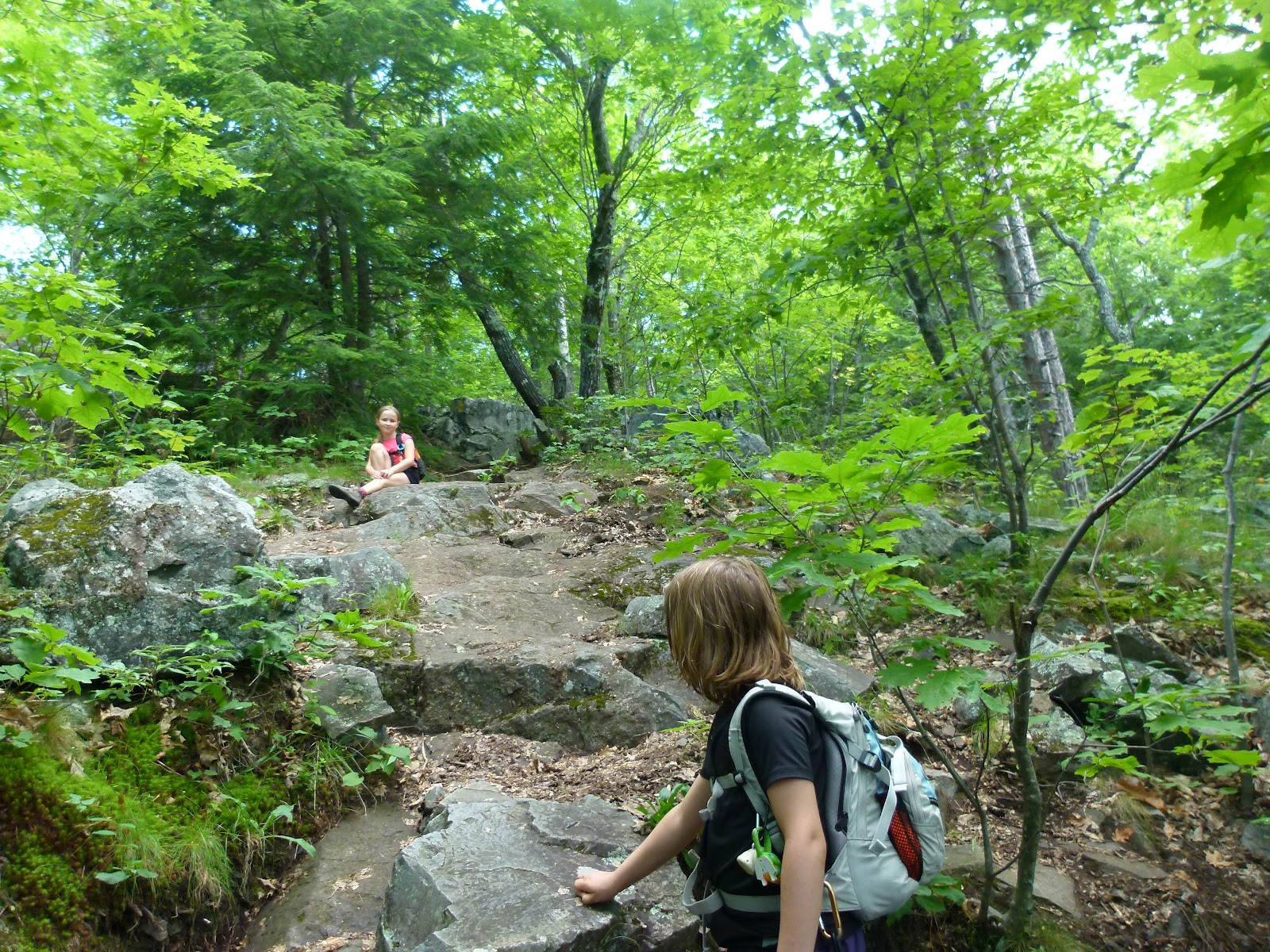
The grade is easy at first...


Blueberries!

Up up up...
Not quite the summit...

Summit!

Views from the summit of South Moat...


Our immediate goals: Middle Moat (ledgy summit in front) and North Moat (green bump in the back).

Sage, MadRiver and Alex on the summit of South Moat.

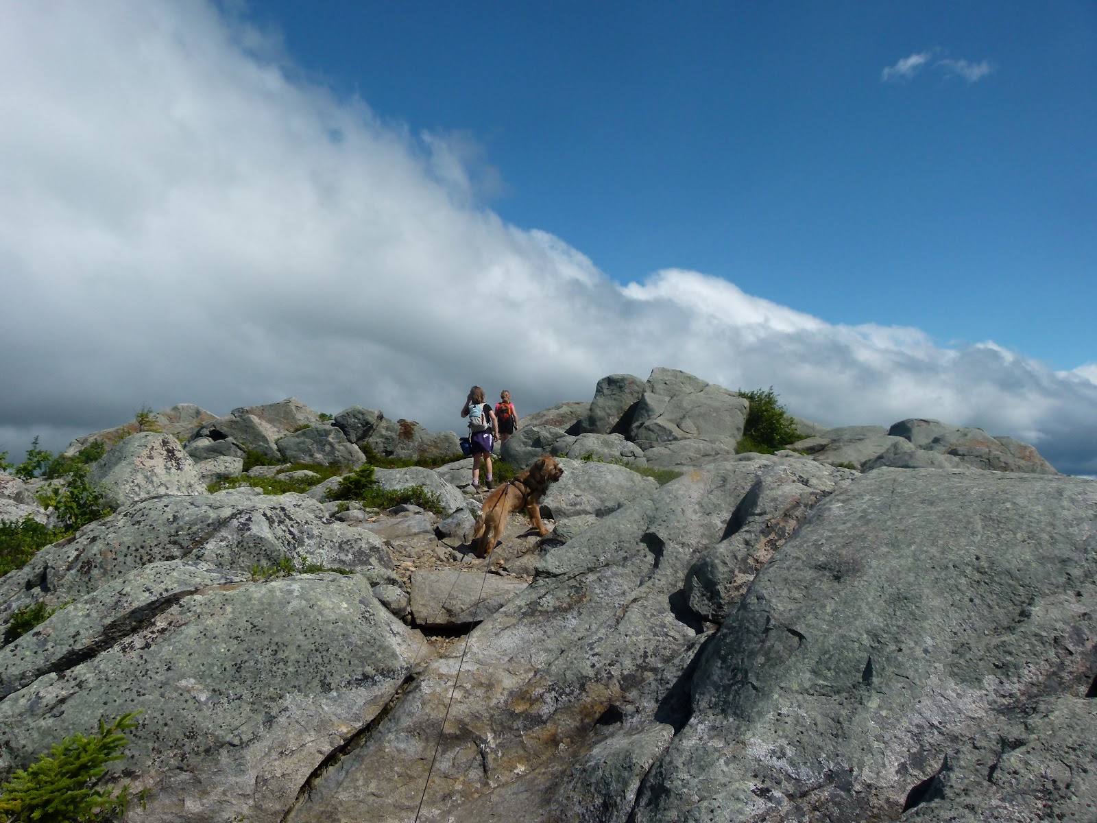
To Middle Moat!

I THINK we're on the summit in the picture below...there were perhaps two blazes and zero cairns between South Moat and the entrance into the trees north of Middle Moat. I would NOT want to do this trail in the fog or snow...excellent visibility is a must until someone paints a few more blazes or piles up some rocks here and there...

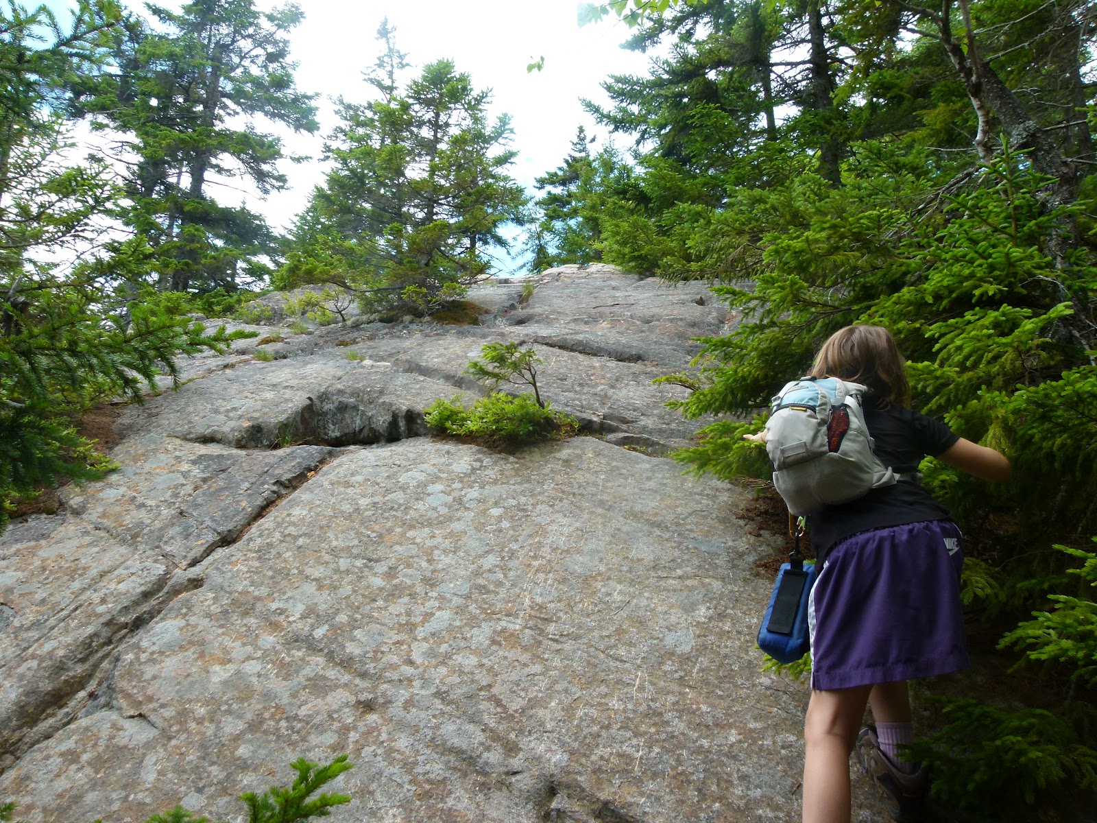
Heading down into the trees, North Moat ahead of us....

Heading up the ledges to the summit of North Moat (Max, our border terrier, handled these ledges just fine).


Summit (North Moat)! Thanks for taking the photo, kind hiker!

Views from North Moat...


We ate, we drank, we spoke with other hikers...and then we began our descent.


'Twas a steep and ledgy affair...


After a couple of miles that felt like twenty, we approached the river...

...and threw ourselves into it.


From here, it was a flat and quick couple of miles to Diana's Baths.


The girls joined in the fun...


...then we headed back to the car (soaking wet).

End of the hike!

Once Sage's blisters heal, we'll go for the Baldfaces. This wasn't a bad substitute hike, though. Good views, nice traverse.
5 comments:
Trish, Alex and Sage,
Wish I could find a blog just like yours for every area of the US!! I love your hike descriptions and pictures. We learned last month while in NH how very different the trails are from our "home" hiking territory in the Great Smoky Mountains National Park.
Thanks so much for taking the time to write (and illustrate) such wonderful trail narratives! It's almost (but not quite) like being there!!
Trish, et al. Nice running into you guys between North and Middle Moat (we went up North and down Red Ridge). This is always a great hike.
LarryD
Sharon, thanks for the compliments! I suspect the trails up here are a wee bit rockier and root-ier (yes, I just made that word up, lol). I've never hiked in the Great Smokey Mountains except for the tourist path up Clingman's Dome.
Let me know when you're up here next and maybe we could grab some pizza!
Hi Larry, it was nice seeing the two of you as well! Glad you had a good hike. Looking forward to checking out Red Ridge some time, I hear it has a few viewpoints.
Funny, I had forgotten how my girls used to get monkey bar blisters when they were younger. They would just do laps back and forth on the rungs or rings. That swimming hole looks fantastic! What a nice reward after a long hike!
Post a Comment