Hope everyone is enjoying the beautiful, cool fall weather! I love this time of year.
The girls and I are teaming up with Buffalo and Tough Cookie on Saturday, September 14 at the Blue Hills Observatory and Science Center in Milton, Massachusetts. This will be a full, fun day of hiking and presentations. Please see this link for details.
Have a great weekend, folks. Tomorrow, the girls and I will hike a 4K with another young, hardcore hiker lady. Desserts on the 48 continues! :)
Thursday, September 5, 2013


Tuesday, September 3, 2013
Mousse on Moosilauke (and a Visit to Blue). Aug. 30, 2013
Beaver Brook Trail, Benton Trail. 7.6 miles roundtrip, 3050 feet of elevation gain.
Beaver Brook Trail has a reputation for being tough...and gorgeous. The girls and I have been up Moosilauke many times, but always by other routes (Glencliff and Gorge Brook). It was time to give this steep path a go. Also, Alex is still (quite casually) pursuing the Trailwrights list, and one comes within close proximity to Mt. Blue's summit when one ascends the Moose from this direction.
Heading up...


Beaver Brook Trail is part of the Appalachian Trail. Someone had made this flowery AT sign not far from the trailhead...


We don't lack experience and we always take special care, so we continued upward...

The trail got steep and remained steep shortly after the above sign. The trail isn't dangerous so much as it is steep steep steep. It's two miles straight up the mountain over stone rocks and wooden stairs (that are bolted into the rocks).

Pretty cascades...


Approaching Beaver Brook shelter...

Continuing upward...


Mt. Blue is described as a bushwhack, but right now there's a cairn marking the entrance to a well-defined herd path that will lead you right to Blue's summit. The cairn is on Beaver Brook Trail on the west side of Blue, right where the trail turns north after having gone west for a bit.

Obvious and seemingly-maintained herd path to Blue...

Register! We were there after five or ten minutes of walking on the herd path (I'd guess that path is two tenths of a mile long, at most).


...made our way back to Beaver Brook Trail, and continued to the intersection with Benton Trail.


From the intersection, it's 0.4 mile to Moosilauke's summit.


'Twas a wee bit cloudy up there.


Mousse on Moosilauke! Desserts on the 48 continues! :)


Our stuffed animals on Moosilauke...

Taking a break from the wind...

The temperatures weren't bad once we were out of the wind (perhaps 50 degrees?), so we hung out for a while and ate lunch. There were no views, but we had a nice time watching hikers materialize from the fog every now and then.
Eventually, we headed down.


End of hike!

Beaver Brook Trail has a reputation for being tough...and gorgeous. The girls and I have been up Moosilauke many times, but always by other routes (Glencliff and Gorge Brook). It was time to give this steep path a go. Also, Alex is still (quite casually) pursuing the Trailwrights list, and one comes within close proximity to Mt. Blue's summit when one ascends the Moose from this direction.
Heading up...


Beaver Brook Trail is part of the Appalachian Trail. Someone had made this flowery AT sign not far from the trailhead...


We don't lack experience and we always take special care, so we continued upward...

The trail got steep and remained steep shortly after the above sign. The trail isn't dangerous so much as it is steep steep steep. It's two miles straight up the mountain over stone rocks and wooden stairs (that are bolted into the rocks).

Pretty cascades...


Approaching Beaver Brook shelter...

Continuing upward...


Mt. Blue is described as a bushwhack, but right now there's a cairn marking the entrance to a well-defined herd path that will lead you right to Blue's summit. The cairn is on Beaver Brook Trail on the west side of Blue, right where the trail turns north after having gone west for a bit.

Obvious and seemingly-maintained herd path to Blue...

Register! We were there after five or ten minutes of walking on the herd path (I'd guess that path is two tenths of a mile long, at most).

We signed the register,...

...made our way back to Beaver Brook Trail, and continued to the intersection with Benton Trail.


From the intersection, it's 0.4 mile to Moosilauke's summit.


'Twas a wee bit cloudy up there.


'Twas also windy....the girls are bracing themselves against the stiff breeze in the photo below.

Mousse on Moosilauke! Desserts on the 48 continues! :)


Our stuffed animals on Moosilauke...

Taking a break from the wind...

The temperatures weren't bad once we were out of the wind (perhaps 50 degrees?), so we hung out for a while and ate lunch. There were no views, but we had a nice time watching hikers materialize from the fog every now and then.
Eventually, we headed down.


End of hike!

Miscellaneous notes:
We gave six northbound AT thru-hikers Snickers bars. I almost always carry candy bars this time of year whenever we're hiking something that's on the AT...I know those gals and guys need all the calories they can get.
A father-daughter duo was heading up as we were heading down. Russ and ten-year-old Becca are two cool, hardcore hikers -- this was their first time up Moosilauke and they chose Beaver Brook...most first-timers take the much easier Gorge Brook Trail (as we did). Kudos to them for their chutzpah! Russ and Becca are making their way through the 48 and we hope to see them out there again soon. It was truly a pleasure to meet them.
This was Alex's 5th time and Sage's 3rd time up Moosilauke.
Wednesday, August 28, 2013
Lemon Bars on Lafayette, Lollipops on Lincoln. Aug. 25, 2013
We're continuing our dessert-themed, happy repeats of the NH48 peaks. This was Alex's 4th time ad Sage's 2nd time visiting Lafayette and Lincoln.
Skookumchuck Trail, Franconia Ridge Trail, and Falling Waters Trail. 10.1 miles with about 4000 feet of elevation gain.
When Alex asked to do another round of the NH48, I agreed, but with a caveat. Whenever possible, I want to hike a trail I have not hiked before. Therefore, we chose Skookumchuck Trail instead of the more popular Old Bridle Path for our ascent.
We joined our friends Tammy and Emma, who had just hiked the Tripyramids the day before. They'd gone up and down the slides...I was astonished they now had the energy to give Franconia Ridge a go.

Skookumchuck Trail is a lovely, moderate ascent through the forest. It's more mellow than Old Bridle Path, and therefore it's more enjoyable (in my opinion).


It was a glorious day to be above treeline. We reached Franconia Ridge Trail and marveled at all we beheld.

Looking north, toward Garfield, Galehead, the Twins, and the Presidentials...

Looking east, toward Owls Head and the Bonds...

Looking south, toward Lafayette's northern peak...

Going UP...

Looking west, into Vermont...


The view north from Lafayette's northern peak...

Heading toward Lafayette's main peak...
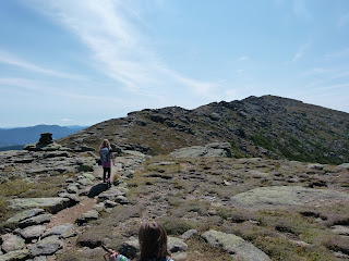
The view west, toward Cannon and the Kinsmans...


Alex and Sage (and a bunch of other people) on the summit of Lafayette...


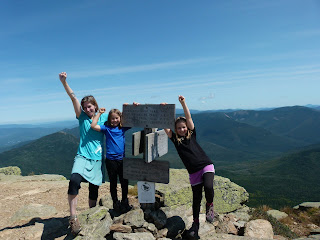
Lemon bars on Lafayette!


Tammy taking a picture of Emma...

Looking south toward Lincoln...

Alex contemplating Cannon's cliffs...

Tammy and Emma...


Upward and onward, to Lincoln's summit...

Looking back toward Lafayette...


On the summit of Lincoln...


Alex builds a stone bench...


The girls falling off Lincoln...

Heading down Falling Waters Trail...


End of hike!

Skookumchuck Trail, Franconia Ridge Trail, and Falling Waters Trail. 10.1 miles with about 4000 feet of elevation gain.
When Alex asked to do another round of the NH48, I agreed, but with a caveat. Whenever possible, I want to hike a trail I have not hiked before. Therefore, we chose Skookumchuck Trail instead of the more popular Old Bridle Path for our ascent.
We joined our friends Tammy and Emma, who had just hiked the Tripyramids the day before. They'd gone up and down the slides...I was astonished they now had the energy to give Franconia Ridge a go.

Skookumchuck Trail is a lovely, moderate ascent through the forest. It's more mellow than Old Bridle Path, and therefore it's more enjoyable (in my opinion).


It was a glorious day to be above treeline. We reached Franconia Ridge Trail and marveled at all we beheld.

Looking north, toward Garfield, Galehead, the Twins, and the Presidentials...

Looking east, toward Owls Head and the Bonds...

Looking south, toward Lafayette's northern peak...

Going UP...

Looking west, into Vermont...


The view north from Lafayette's northern peak...

Heading toward Lafayette's main peak...

The view west, toward Cannon and the Kinsmans...


Alex and Sage (and a bunch of other people) on the summit of Lafayette...


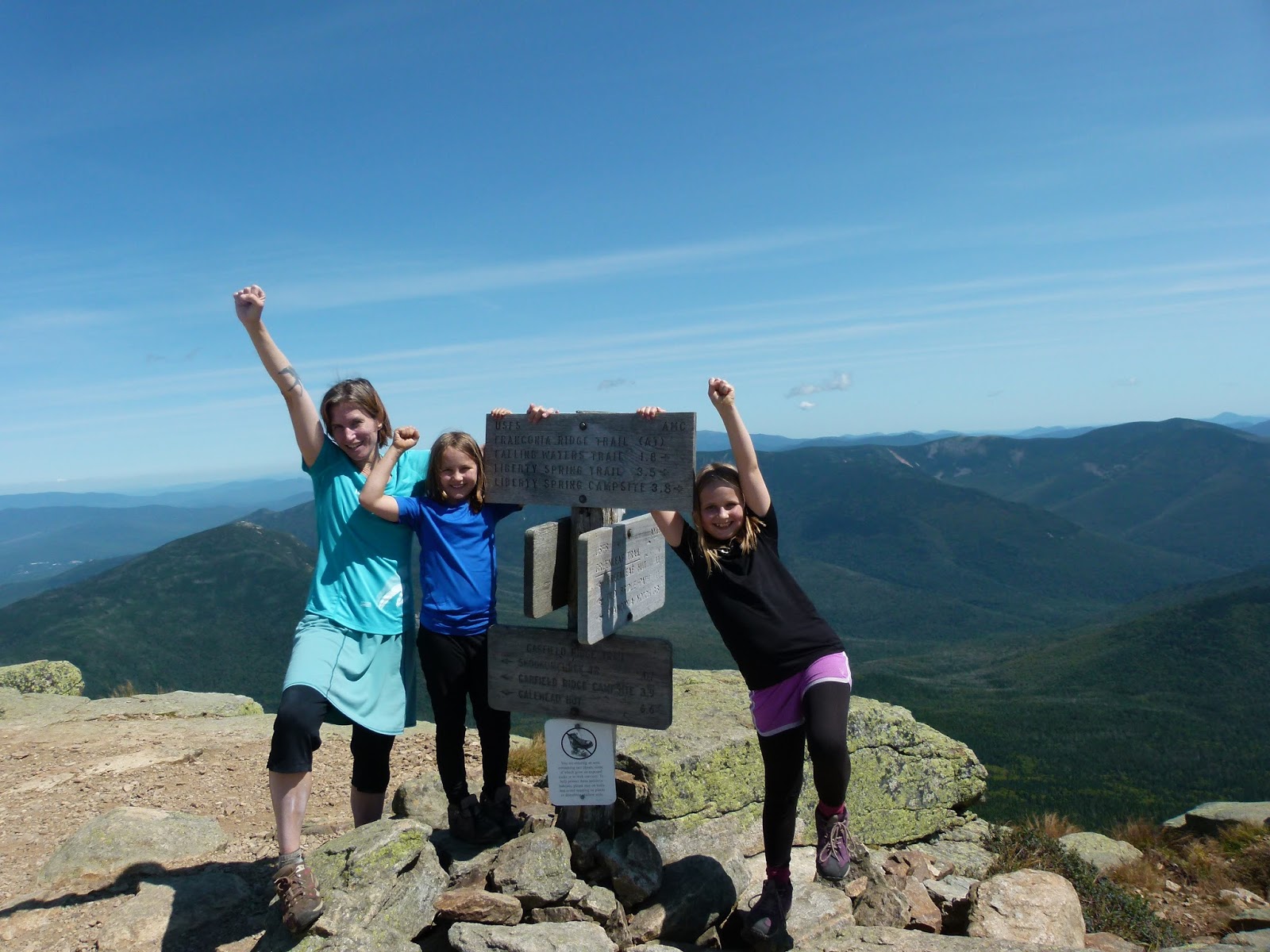
Lemon bars on Lafayette!


Tammy taking a picture of Emma...

Looking south toward Lincoln...

Alex contemplating Cannon's cliffs...

Tammy and Emma...

We lounged on the summit for almost an hour, enjoying the perfect weather and extensive views. Eventually, we moved on toward Lincoln.
On the way, Sage managed to get happily crushed...

Upward and onward, to Lincoln's summit...

Looking back toward Lafayette...


On the summit of Lincoln...


Lollipops on Lincoln!

Alex builds a stone bench...


The girls falling off Lincoln...

We spent another huge chunk of time resting on Lincoln. The day was spectacular -- it truly couldn't have been better. Eventually, with great regret, we began our descent.
Heading down Falling Waters Trail...


End of hike!

It was a real pleasure hiking with Tammy and Emma. Congrats to Emma, who now has 18 NH4K peaks in the bag. Have to say, I'm amazed at her stamina -- the girl had just done the Tripyramid slides the day before...I don't usually do much of anything the day after a Tripyramid adventure, and here she was tackling Franconia Ridge. Kudos, kiddo!
This quest is fun. Alex and Sage look forward to revisiting the rest of the NH4K peaks...and I look forward to exploring new and rare desserts as I try to figure out what to bring on Zealand, Hale, etc.
Subscribe to:
Posts (Atom)