Tuesday, July 12, 2011

Prepping for Marcy: Whiteface and Passaconaway. July 9, 2011

Blueberry Ledge Trail, Rollins Trail, Dicey's Mill Trail.

About twelve miles roundtrip.

It's almost time to go highpointing again! The girls and I have plans to hike Mt. Marcy, the tallest mountain in New York, next weekend. I've been debating on whether or not to make that hike a daytrip or a backpack...a daytrip means I don't have to carry three sleeping bags and a tent, but it also means that the girls and I have to cover fifteen miles in one day. Alex can handle that, but Sage...?

In order to better make a decision, I chose a difficult hike for this week's 4K(s). Ascending both Whiteface and Passaconaway means tromping up and down twelve miles of trail and covering 3800 feet of elevation gain. Mt. Marcy is fifteen miles roundtrip with either 3800 or 3100 feet of elevation gain (depending on the source), so I figured if Sage could handle the Whiteface/Passaconaway loop, then she'd be good to go for Mt. Marcy. Also, highpointing rules differ from 4K rules; if I end up carrying her down Mt. Marcy, she can still count the peak for highpointing purposes.

I explained the plan to the girls, and they agreed the loop would make a good prep hike for Marcy. The next morning, off we went.

The parking area at Ferncroft...


The trail signs...


The bridge with the "hikers welcome" sign (love that!)...


The beginning of the trail is packed dirt with easy to moderate grades. Then come the initial ledges through the woods...


...then some more dirt...


...and some rock steps here and there...


...and then, the serious ledges.

I've no pictures of the seriously steep ledges since it's difficult to spot two children and a dog while holding a camera. Let's just say this bit requires some extended scrambling.

Once at the top of the ledges, one is treated to views...


...then it's onward and into the trees for the summit.


After eating our customary chocolate, we headed toward Passaconaway. Rollins Trail was a relatively easy stretch, just 2.4 miles of mostly packed dirt...
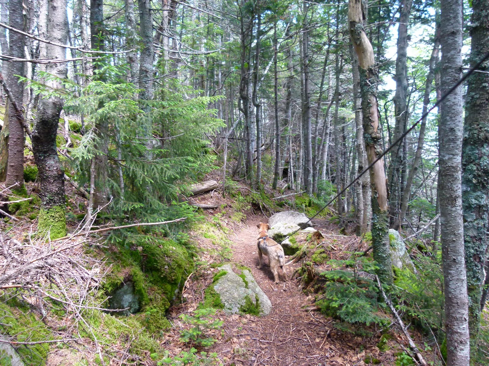


We reached the intersection with Dicey's Mill and headed up...


There are nice views near the summit...


...though the summit itself is in the trees.


We weren't sure whether the highest point was here...


...or here.


We went back to the viewpoint and ate some more chocolate. The girls seemed in fine spirits -- so far, so good. The Marcy-in-a-day plan looked more feasible by the hour.

Down we went on the relatively smooth Dicey's Mill Trail.


Fatigue set in a mile from the trailhead, but all four of us made it out in relatively good cheer.


So, Marcy-in-a-day it is. We'll start early and take it slowly next weekend...plus, we'll have the good company of Cumulus from RocksonTop. Should be a fine time, looking forward to it.

Congrats to Sage for being halfway through the NH4Ks! 24 White Mountains down, 24 to go.

Next stop: highpoint #36, New York's Mt. Marcy.

Monday, July 11, 2011

Preparing for New York's Highpoint

The girls and I are preparing to hike New York's highpoint, Mt. Marcy. We took a twelve mile hike last Saturday in order to ready ourselves; I'll post that trip report Wednesday evening.

Wednesday, July 6, 2011

Giveaway: Guide to The 4000 Footers


Alex, Sage and I are giving away a signed copy of Steve Smith and Mike Dickerman's definitive guide, The 4000-Footers of the White Mountains.

Send me an email at patriciaellisherr@post.harvard.edu if you'd like to be entered in this drawing. The girls will pull the winning name from a jar at 7pm on Sunday, July 31.

Your email address will not be shared with anyone, and I'll only use it to notify you if you're the winner.

Sunday, July 3, 2011

High Wind Ascent of Madison (video clip), June 30, 2011

A short clip of the girls and I ascending Mt. Madison in 50+ mph winds. Thanks to Jim Surette of Granite Films for shooting the video.

High Winds on Madison and Two Adams in the Fog. June 30 - July 1, 2011.

Valley Way, Osgood Trail to Mt. Madison (4.2 miles., 4100 ft elevation gain).
Osgood Trail to Madison Spring Hut (0.5 miles)
From hut, Gulfside to Lowe's Path to Adams (0.9 miles, 950 ft elevation gain).
Lowe's Path over Adams 4 to Randolph Path to Valley Way to trailhead (about 5.5 miles)

The girls and I were fortunate to have the very talented Jim Surette of Granite Films with us on the first day of our two-day hike. Jim took some time out of his extremely busy schedule to shoot some video for our book trailer and one other book-related project -- we are very grateful for his kindness and expertise!

Thursday's upper summit forecast called for 50 mph winds and rain showers. Not the ideal weather for summit views, but that didn't deter us. We had all the right clothing and gear, and we need all kinds of video footage. Jim's as experienced as they come and has filmed in all kinds of weather and terrain. Therefore, we met at the trailhead for Valley Way bright and early in the morning and started up the path. The girls were excited and rarin' to go, as usual.


Up we went...


We made good time and were near the tent platforms in just a few hours. We paused here for Jim to interview the girls.


Both girls enjoyed the questioning and Sage surprised me by not being shy (though she refused to be interviewed alone). After Jim got what he needed, we continued onward and upward.


Jim sometimes stopped to set up shots. The girls worked well with him and took everything in casual stride.


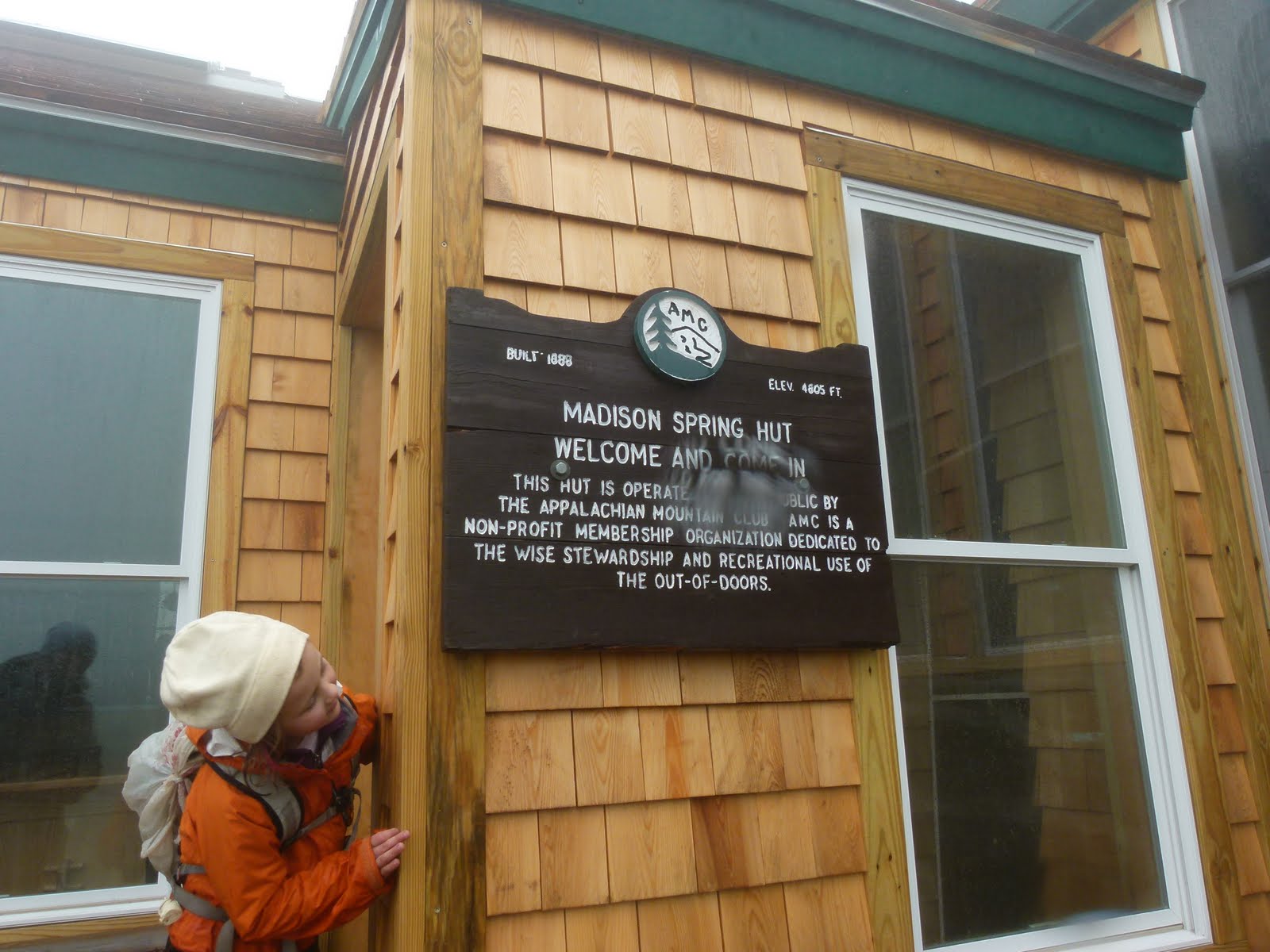
We got above treeline and were treated to the view of the newly renovated Madison Springs Hut.


The renovations are great. The hut is now spacious, and the bunks have reading lights and guardrails. Very nice!


We claimed our beds and ate some food. After our bellies were full and when the girls felt ready, I geared them up for the summit push. I let Jim know that we might not make it very far, since Sage had not hiked in those kinds of winds before (Alex crawled to Liberty's summit one winter in gusty winds, so she knew what to expect). I put all winter layers on both the girls, stuck a body warmer on each of their base layer shirts, and fastened their bright orange vests over their backpacks. I reminded them of their emergency whistles and told them to stay close to me. After making sure that both girls knew we could turn back if either of them gave the word, we pushed open the door and forged into the wind.


Once we got past the scrub, I ordered the girls to keep low and crawl whenever possible; the wind was blowing so hard that upright walking was out of the question. Alex and Sage made their way up without much trouble. We ascended slowly and carefully, with Alex in the lead. Sometimes, Jim would climb ahead and ask us to wait so he could set up a shot.


The wind was most fierce on the top of the summit cone, where nothing at all blocked the forceful gusts. Thankfully, we didn't have far to go at this point. Each of us carefully made our way to the summit; once there, the girls let loose a proud victory holler.


Here's Jim at the summit. I've seen the footage he took and it's absolutely brilliant. Can't wait 'til I'm able to show all of it!


Since this was Sage's first visit to Madison, I took a picture of just her (without Alex).


The descent to the hut was initially difficult for Sage. She had been motivated on the way up by the thought of reaching the summit. On the way down, all she wanted was to be off the trail and at the hut; she no longer appreciated the wind. To brighten her spirits, I gave her permission to curse. She was floored by this and kept asking if I was serious. I told her yes. She could curse the wind at the top of her lungs and no one would hear her, so she should go for it. This prospect put the smile back on Sage's face, and she spent the rest of her descent thinking of just the right curse word to say (she never actually said it).

We said our goodbyes to Jim at the hut, since he wasn't spending the night and we were finished for the day.

The next morning we arose to rare views...


After a typical hearty hut breakfast, we packed up and headed toward Adams. The wind had died to a breeze and, though the visibility wasn't optimal, our hike went smoothly.


On the summit of Adams.


Instead of heading back to Madison and down Valley Way, we decided to take Lowe's Path over Adams 4. Here's Adams 4 rising above us in the fog...


After a brief and easy climb, we reached the top. Sage opted not to go the extra dozen steps to the exact summit, since this isn't an official 4K and she wanted to take a rest. She's down below, within my sight but out of camera range.


While descending Lowe's Path, the clouds cleared a teensy bit, but only for a moment.


We checked out RMC's Gray Knob on the way down.


We made our way back to the start of Valley Way via the Spur Path and Randolph Path.


...and then we were back at the trailhead!


Many thanks once again to Jim Surette. The footage is great and I can't wait to show it to everyone!

Happy Hiking,
Trish