Thursday, July 17, 2014

JMT Training Peak 17 of 21: Mt. Meader/Eagle Crag (52WAV). July 17, 2014

What a gorgeous day!  Low humidity, sunny skies...we took advantage of the perfect weather and hiked up Mt. Meader, across Meader Ridge to Eagle Crag, and down Bicknell Ridge Trail.  I'll post a trip report this weekend.


EDIT 7/19/2014 -- Trip report!

Mt. Meader Trail, Meader Ridge Trail, Bicknell Ridge Trail, road walk.  About ten miles total with about 2500 feet of elevation gain.

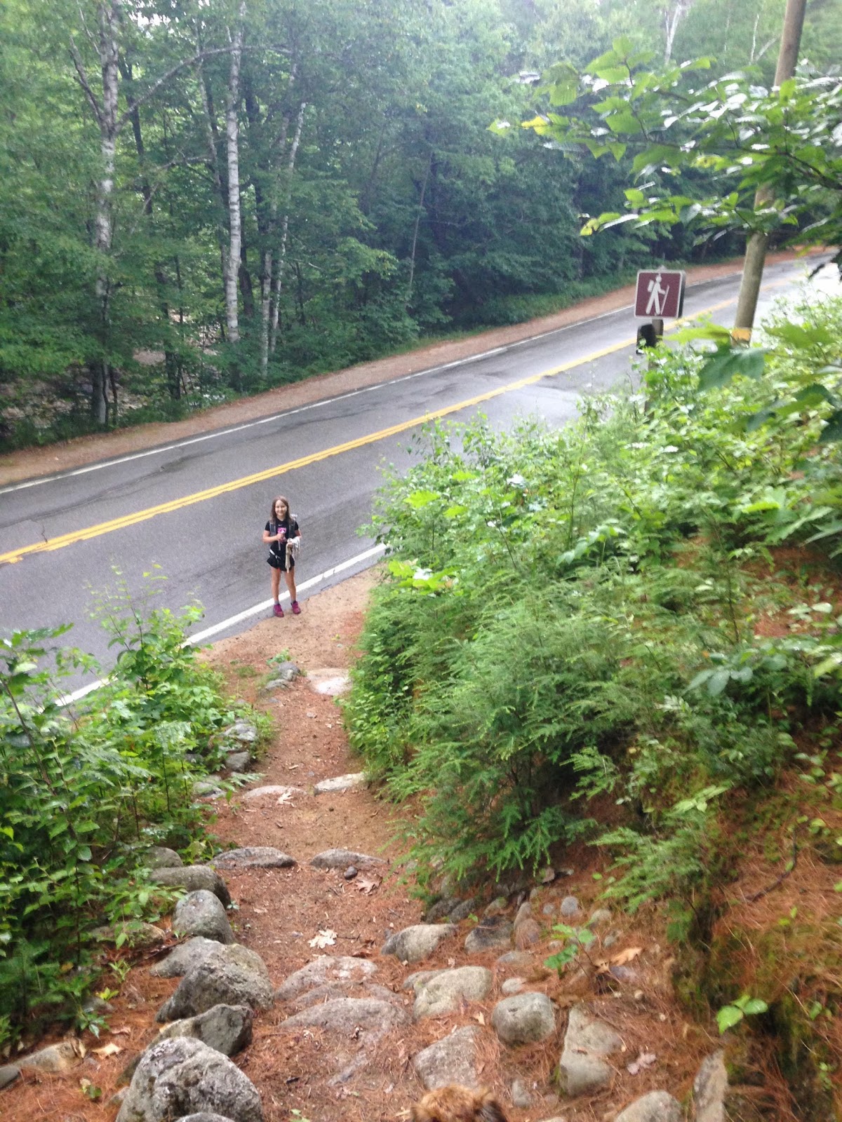
What a difference low humidity makes!  We've been hiking in hot and humid weather for the past week and a half, and we'd forgotten what it felt like to be comfortable while ascending a peak.  This day's hike was perfect.  I picked up the girls from their camp at noon and drove the two hours north to Evan's Notch.  We parked off Route 113 by the entrance to Mt. Meader Trail and got out of the car...lovely!  Very little humidity and only a few bugs.  We geared up and set off.


The trail begins on an old logging road.


We walked on easy grades and took the short detour 0.9 miles up the trail to check out Brickett Falls.


Mt. Meader Trail is gradual all the way up until the final half mile or so (switchbacks).  We enjoyed this ascent very much -- it never felt steep (except for the last half mile) and it was hard to believe we were ascending a mountain.


The forest felt peaceful up on the switchbacks...magical, even.  Perhaps it was the lack of bugs and heat.


After the last of the switchbacks, we walked through a serene patch of tall pines before hitting the final steep section.


Popping out on some ledges...


Mt. Meader!


We ate some snacks and downed some water, then we moved on.  It felt so lovely up there...so cool and comfortable.  This is the kind of hiking we love best.  High on a ridge, in gorgeous weather, feeling like we're on top of the world.


I have to mention one negative, however, as a warning to others -- just southwest of the intersection on Meader, along Meader Ridge Trail, there is a small scramble in the woods.  Somewhere within those rocks, or along the trail, there is a hornets'/wasps' nest.  One of us must have disturbed it, because I was attacked halfway up that scramble.  Sage was ahead of me, and Alex was behind me...thankfully, Sage was not in the line of fire and the critters didn't seem interested in Alex (or Max)...they just wanted me.  I tossed Max up and over the scramble, shouted, "MOVE QUICKLY!" to the girls, and we launched ourselves up and over that section of trail in record time.  I was only stung twice, and the girls and Max weren't stung at all, so it wasn't that big of an ordeal.  However, to anyone hiking this section of trail in the near future...beware.

Not long afterward, we reached a short spur path to a view.


The view...


Back to the ridge, heading southwest...


I only have a few photos of Meader Ridge Trail, and they don't do the trail justice.  It's a beautiful walk, with viewpoints popping up every now and then.  The area feels peaceful...almost spiritual.  I don't know how else to describe it.  It was a lovely walk on a lovely day.

Here we are, approaching Eagle Crag...


Eagle Crag!


The view toward South Baldface...


We took another break here.  This was such a wonderful moment.  Food, water, scenery, good company.  We didn't want to come down.

Eventually, we meandered over to the intersection with Baldface Circle Trail.


I had been down this trail once before, so I asked the girls if they would mind hiking another 0.2 miles over to Bicknell Ridge Trail, which I hadn't yet experienced.  Alex and Sage were up for it, so we continued along the ridge until we reached the appropriate intersection.


Looking at North Baldface


Bicknell Ridge Trail was GORGEOUS!  We LOVED this descent!  The upper portion has constant views of the ledges on South Baldface...and there were blueberries all over the place!  We soaked in the scenery and ate our way down the mountain.


Once in the trees, the footing on Bicknell Ridge Trail is good and the grades feel moderate to easy.  It's an enjoyable path.

Bicknell Ridge Trail joins Baldface Circle Trail 0.7 of a mile from Emerald Pool.  We stopped by the Pool for a fifteen minute wade.


We reached the trailhead for Baldface Circle Trail at 7:45...


...walked the 0.6 of a mile to our parking spot...


...and were back at our car at 8pm.

This was such a great hike.  The girls loved it, I felt strong, Max was happy, and the wasp stings only hurt for a few minutes.  This was such a nice change from what we've been doing lately (hiking in heat and rushing to get down off the mountain because of incoming storms).  I highly recommend this hike to everyone on the planet.

Wednesday, July 16, 2014

Backpacker Magazine's Get Out More Women's Tour

This evening, the girls and I had the pleasure of attending one of Backpacker Magazine's Get Out More Women's Tour events.  Samantha Brady and Rebecca Scholand, the Ambassadors for this female-specific tour, rocked the standing-room-only house in Framingham, Massachusetts with their enthusiastic and informative presentation.  They spoke about the Ten Essentials, gear, ladies-only trail issues, and more.  Alex, Sage, and I had a wonderful time.  Here's the list of their upcoming events -- go see them in person if you can.


The girls and I have known Samantha for almost two years, and we've had the pleasure of hiking with her three or four times.  She's a great person and a skilled outdoorswoman, and I can't think of a better Ambassador for Backpacker Magazine (except, of course, for Rebecca, who is also a great person and a skilled outdoorswoman!).  Check out their presentation if you can, and read their blog on Backpacker Magazine's website.  Good stuff.


Monday, July 14, 2014

JMT Training, Peak 16 of 21: Eastman Mountain (52WAV). July 14, 2014

After I picked up the girls from their summer camp this afternoon, we drove north and hiked Eastman Mountain.  I'll post a trip report late tomorrow evening.

Hope everyone is enjoying their summer!

Alex taking a photo of Sage on Eastman Mtn's summit.
EDIT, 7/15/2014 -- Trip Report --

Baldface Circle Trail, Slippery Brook Trail, Eastman Mountain Trail.  8 miles roundtrip with about 1550 feet of elevation gain.

This month is an incredibly busy one, so you'll have to forgive any recent less-than-stellar writing.  We don't usually do this many hikes in such a short period of time; the girls also have their homeschooling work, karate, friend-time, field trips, and summer camp.  The constant activity means I write trip reports late at night, when half my brain has already fallen asleep for the evening.  I apologize if any typos or grammatical errors have slipped by undetected.

Monday was the start of a two week summer camp.  The camp ends at noon each day, so the girls and I are still able to hike in the afternoon.  Once upon a time, we'd only hike if we could leave in the morning, but we're experienced enough now to be comfortable coming out in headlamps.

Our peak for the day was Eastman Mountain, a peak close to the Baldfaces in Evans Notch.  We were at the trailhead at 1:45 and had boots on trail at 2.

Trailhead off Route 113 in Evans Notch
The first 0.7 miles is wide and easy.  A popular local swimming hole, Emerald Pool, awaits the hot traveler at the end of this stretch; we skipped the Pool in favor of the mountain.  The girls and I hoped to take a dip in the water on our way out, but that didn't happen (more on that later).


We reached the turn toward Slippery Brook Trail and headed up.


Before we went the right way, we went the wrong way...in the photo above, you can see the location of the trail.  You turn left at this sign and follow the path, which immediately swings right and parallels the trail you just exited.  What you can't see in this photo is that to your left, a wide path of sorts leads up into the woods.  In other words, it's easy to turn left and go straight, missing that immediate right turn.  The girls and I went straight into the woods for a few minutes before realizing we weren't on the trail.  When we returned to the sign and took a better look, we realized our mistake.

The trail itself is well blazed and obvious (once you're on it!).


We came to the Slippery Brook Trail/Baldface Circle Trail junction in another 0.2 miles.


Slippery Brook Trail has easy and moderate grades for most of the way up.  Nevertheless, the humidity of the early afternoon made the trek feel difficult.  The girls memorized their lines (their camp is putting on Shakespeare's The Merry Wives of Windsor) as we ascended -- this mental effort took their minds off their physical efforts.  Slippery Brook crosses many little...well...slippery brooks, so every time we crossed water, we dunked our bandanas and cooled our heads and hands.  The combination of line-memorization and water-dunking made the hot ascent bearable.  In spite of the heat, the girls moved as quickly as they usually do (I made sure they kept themselves hydrated), and we reached the ridge an hour and a half after leaving the car.


There was a lovely cool breeze at this intersection, so we stopped for a few minutes and enjoyed it.  The last stretch coming up Slippery Brook Trail had been a bit steep and crumbly, so we needed the breathing time.  When we were ready, we moved along Eastman Mountain Trail toward the summit.

This 0.8 mile trail is fairly mellow.  The first part dips down just a wee bit and is quite overgrown.


The last few tenths of a mile head up toward Eastman's summit.  It ends with a teeny bit of ledge scrambling (very minor).


Summit!


Congrats on another 52WAV peak, Sage!


Alex takes a photo of Sage.


Both my girls on Eastman Mountain

The view southwest.


Sage taking a photo on Eastman's summit,
with South Baldface in the background.

The clouds weren't looking friendly (see above picture), so we didn't linger.  We took our photos, ate a few snacks, and went back down the trail.  The thick clouds blocked the sun and made the forest look gloomy...we had two and a half hours before sunset, but it was almost dark enough for headlamps.  We therefore did not stop at Emerald Pool on the way out.  The sun came back for a literal minute just as we reached the trailhead.


Four seconds after the above photo was taken, a dark cloud swooped overhead and dumped buckets of water all over us.  It felt wonderful.  We ran back to the car in a fit of giggles.

This was a nice hike, but it would have been nicer if we could have taken our time with it.  We were up and down in four hours flat.  We ascend quickly, and that's fine, but it's nice to sit on the summit for a while after a climb.  We couldn't do that today, and I think the girls felt a bit cheated.  They understand why I wanted to rush down, though...I don't like to see thick, dark clouds when I'm on a peak.

There will be another hike this week, as well as a trip to see our friend Samantha give a talk as part of Backpacker Magazine's Get Out More Women's Tour.  I'll give a report on both excursions before late Saturday evening.

Also, the girls and I will mail our resupply buckets to Muir Trail Ranch this weekend!  JMT time is getting closer...